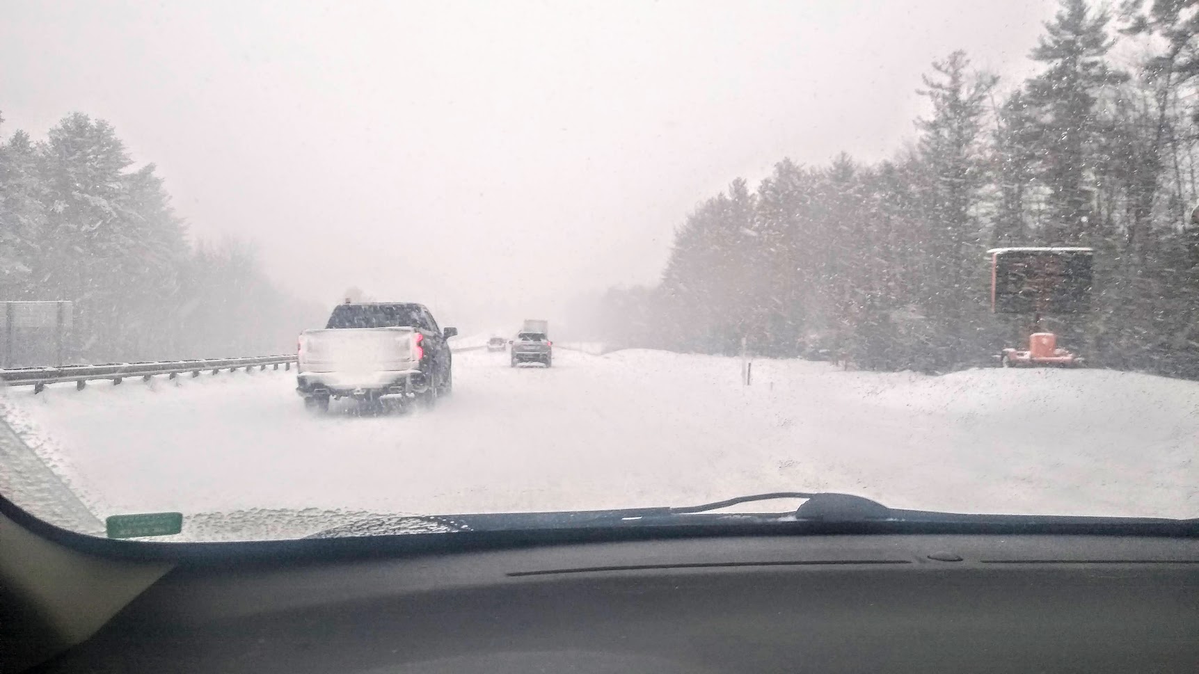
It’s going to be a mess in Maine on Monday. A storm is hitting the state with snow, sleet, rain, strong winds, and the potential for coastal flooding.
Here’s the latest:
MONDAY MORNING: Snow starts between 4 a.m. and 6 a.m. across. Precipitation will start as snow. At the coast, we’ll get an hour of snow followed by a rapid change to rain as temperatures quickly warm above freezing. Just a few miles inland, we’ll hold on to the colder air for longer. This will keep snow going through mid-morning. Snowfall rates will reach 1-3 inches per hour, creating hazardous travel and very low visibility.
LATE MONDAY MORNING: By late-morning, winds will start to ramp up at the coast. Our strongest gusts arrive between 9 AM and noon, with gusts 50-60 MPH possible. Power outages are certainly possible. High tide on Monday will take place around 11 a.m. With a strong onshore wind, some minor coastal flooding is possible, especially in southern Maine and the New Hampshire Seacoast
COASTAL FLOODING: Minor flooding is possible around high tide. Forecast tide is 12.4′. Flood stage in Portland is 12′.
MONDAY AFTERNOON: Relatively warmer air will start to penetrate farther inland. This will change heavy snow to a period of moderate to heavy rain south of the hills and mountains. At this point, some sleet may mix in across the higher terrain of western Maine. Steady and heavy precipitation will start to wind down. Even areas that see snow will changeover to drizzle or freezing drizzle as the Precipitation shuts off. Winds will gradually begin to diminish along the coast. The weather will rapidly improve between 1 p.m. and 3 p.m.
HOW MUCH: Light snow accumulations are expected at the coast thanks to a quick changeover. The jackpot will be in the mountains where a foot of snow is possible.
MONDAY NIGHT: Expect decreasing clouds and lows around 20 degrees. Expect winds 10-20 mph.
LOOKING AHEAD: Some sun returns on Tuesday, but it will be a cold and blustery day. A round of light snow is possible Wednesday afternoon. Another shot of arctic air is likely toward the end of next week.


